
Quick Fact
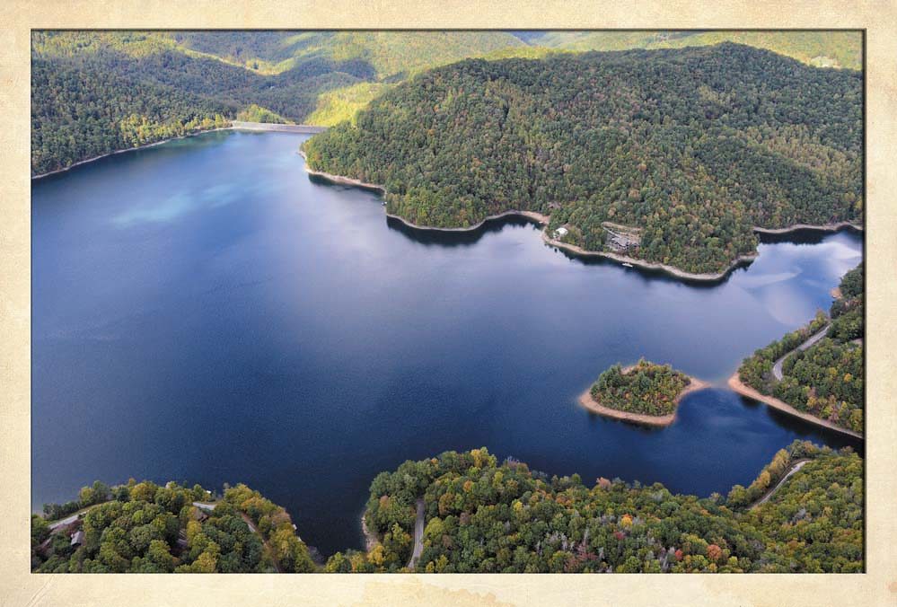
Nantahala Lake was created in 1942 by the Nantahala Power Company to provide electricity for the war efforts. The power generated went to Tennessee smelteries for production of aluminum to build airplanes.

17836 Wayah Road
Topton, NC
The Cherokee lived in this area for nearly 4,000 years, until European traders followed Indian paths to Western North Carolina. In 1838, when the Cherokee were being rounded up for the Trail of Tears removal to Oklahoma, they were detained at Camp Scott (now covered by water), near the mouth of Wine Spring Creek. Broken pottery, broken spearheads, arrowheads and other artifacts have been found in all areas of the Nantahala Community providing evidence of Native American villages.
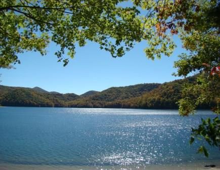
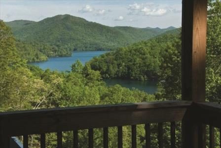
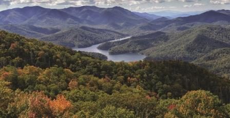
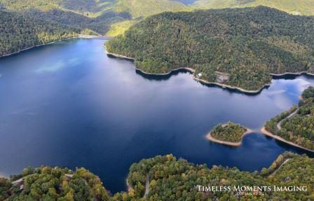
Nantahala Lake was created in 1942 by the Nantahala Power Company to provide electricity for the war efforts. The power generated went to Tennessee smelteries for production of aluminum to build airplanes. Located in the Nantahala National Forest at an elevation of 3,012 feet, the lake is the second-highest lake east of the Mississippi. The lake now covers what was once the town of Aquone, a stagecoach stop between Asheville and Murphy, N.C.
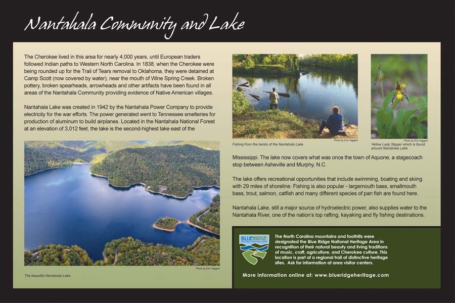
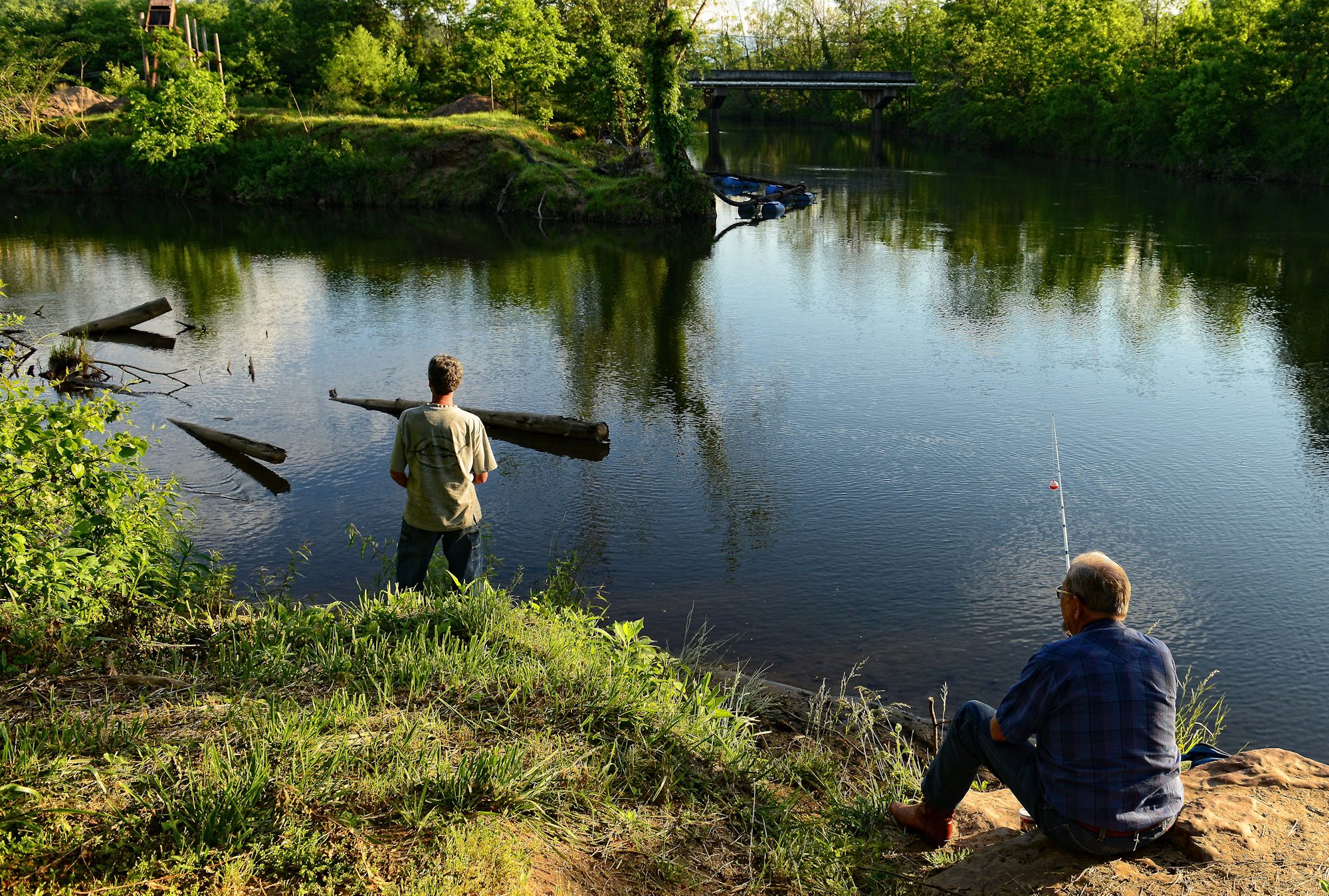
The lake offers recreational opportunities that include swimming, boating and skiing with 29 miles of shoreline. Fishing is also popular – largemouth bass, smallmouth bass, trout, salmon, catfish and many different species of pan fish are found here.
Nantahala Lake, still a major source of hydroelectric power, also supplies water to the Nantahala River, one of the nation’s top rafting, kayaking and fly fishing destinations.
![]() The Blue Ridge Heritage Trail is a program of the Blue Ridge National Heritage Area Partnership.
The Blue Ridge Heritage Trail is a program of the Blue Ridge National Heritage Area Partnership.


More Information
Franklin Chamber of Commerce
425 Porter Street
Franklin, NC 28734
828-524-3161
www.VisitFranklinNC.com
www.VisitNantahalaNC.com